How to improve OpenStreetMap with official open-data
Tirana use-case


OpenStreetMap ?
OpenStreetMap is a free, editable map of the whole world that is being built by volunteers largely from scratch and released with an open-content license.
A Map ?
A Database ?
A Website ?
Tools ?
...
A website
A database
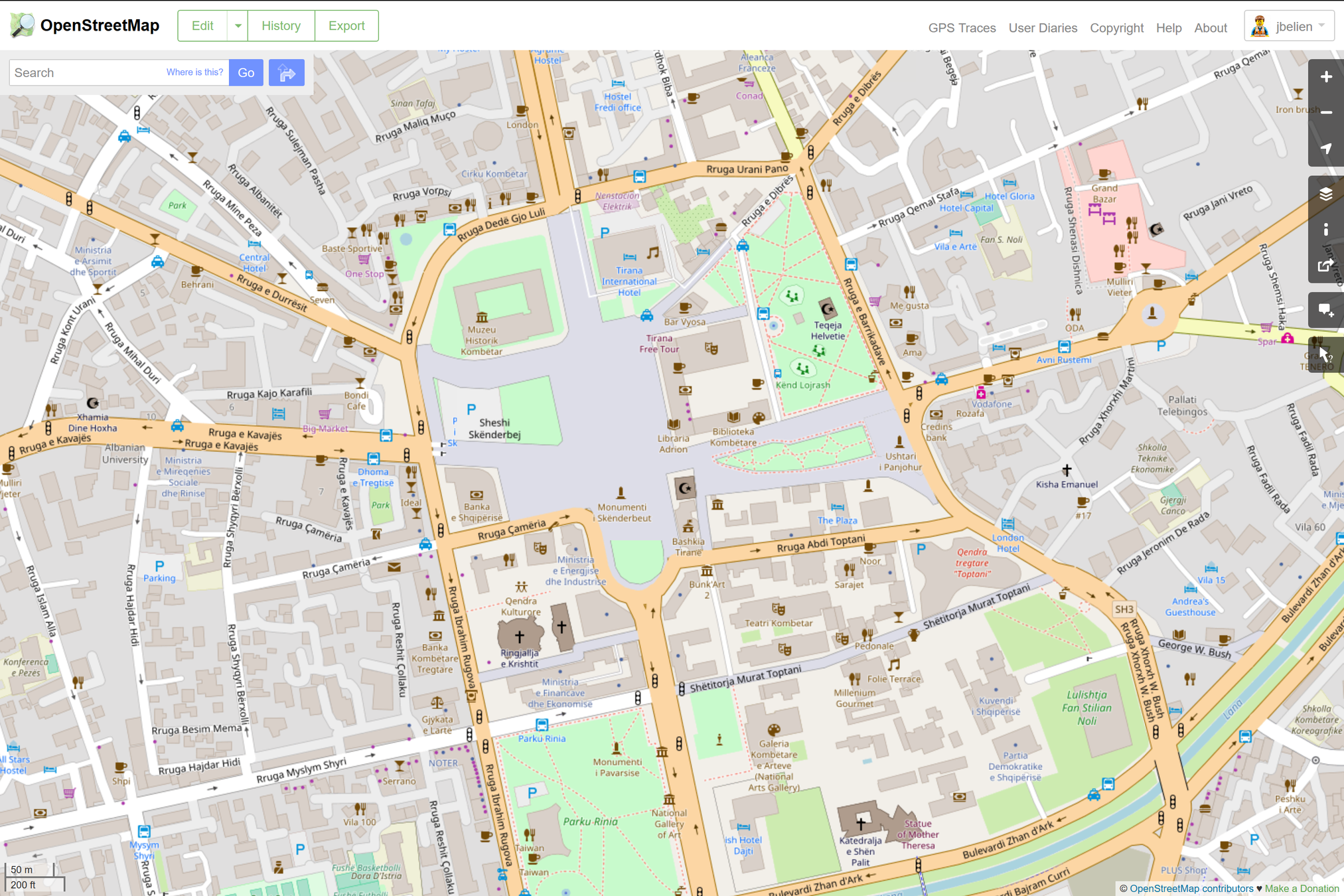
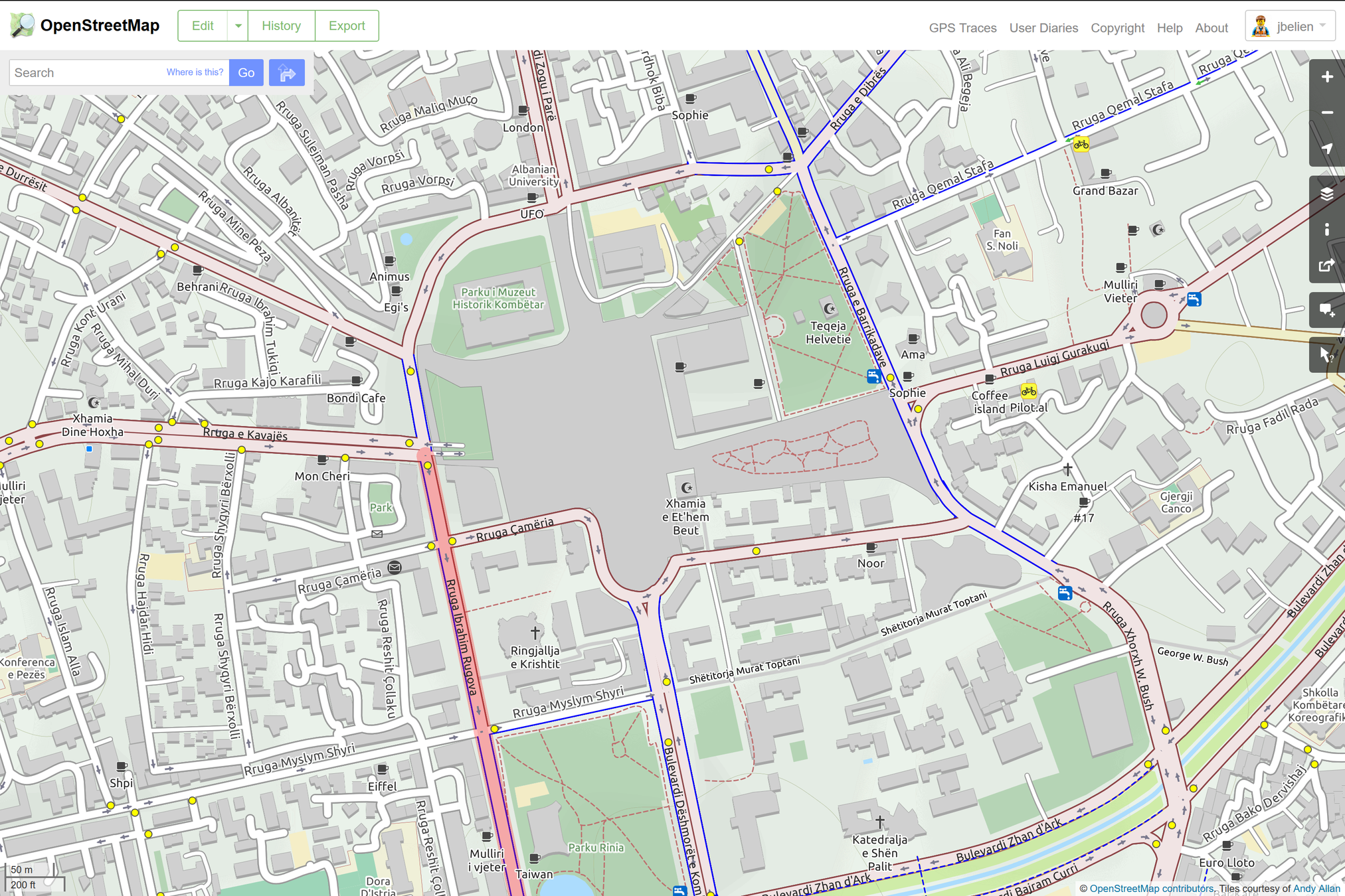
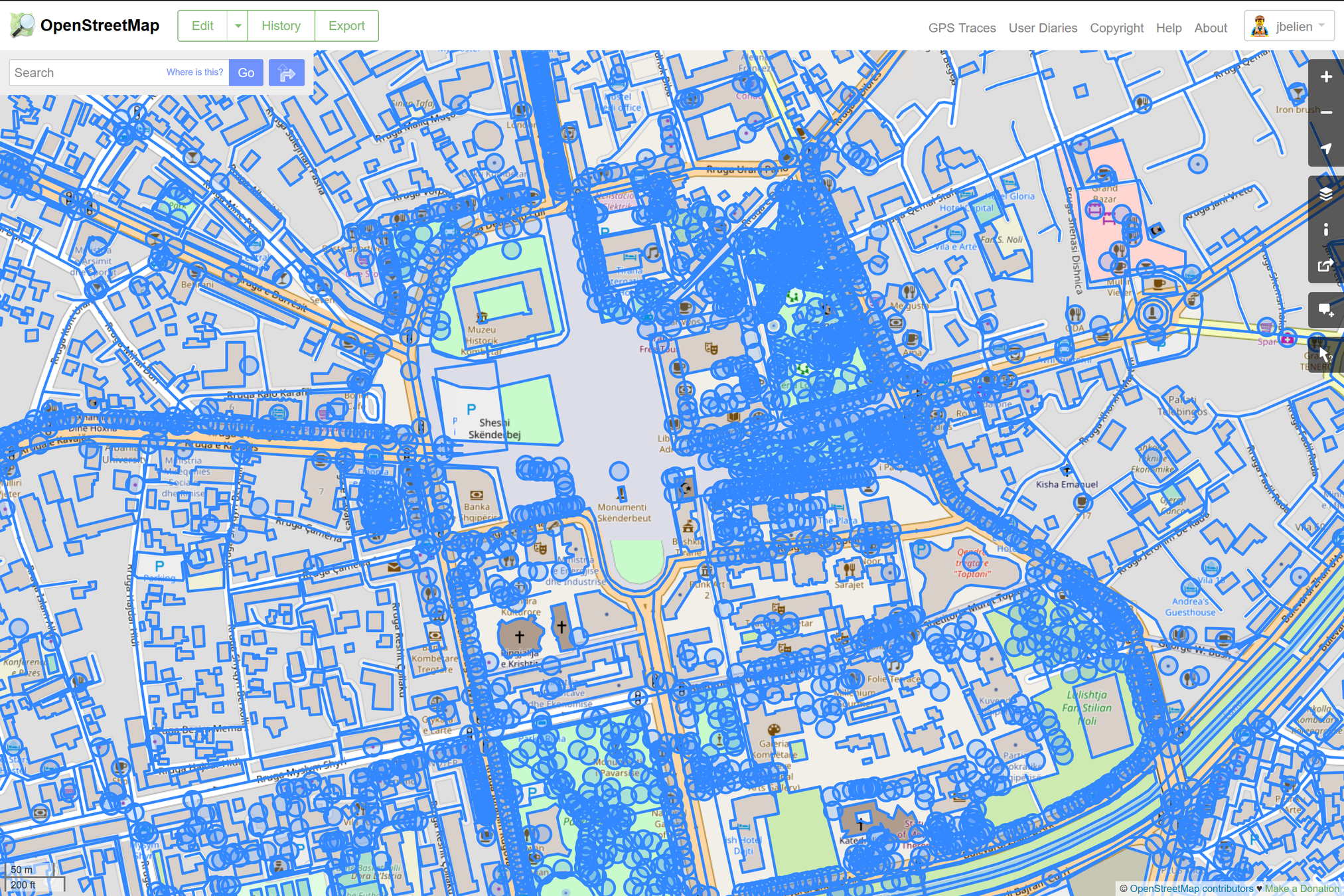
Many maps !
Many MANY maps !
Many MANY maps !
Many tools !
OpenStreetMap
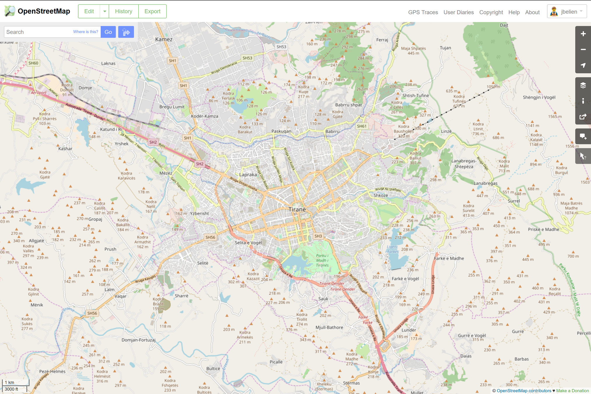
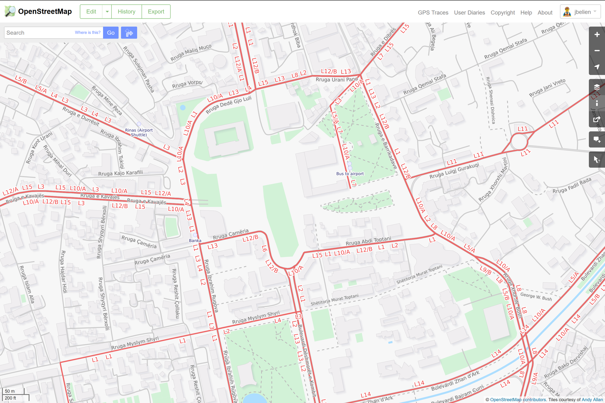
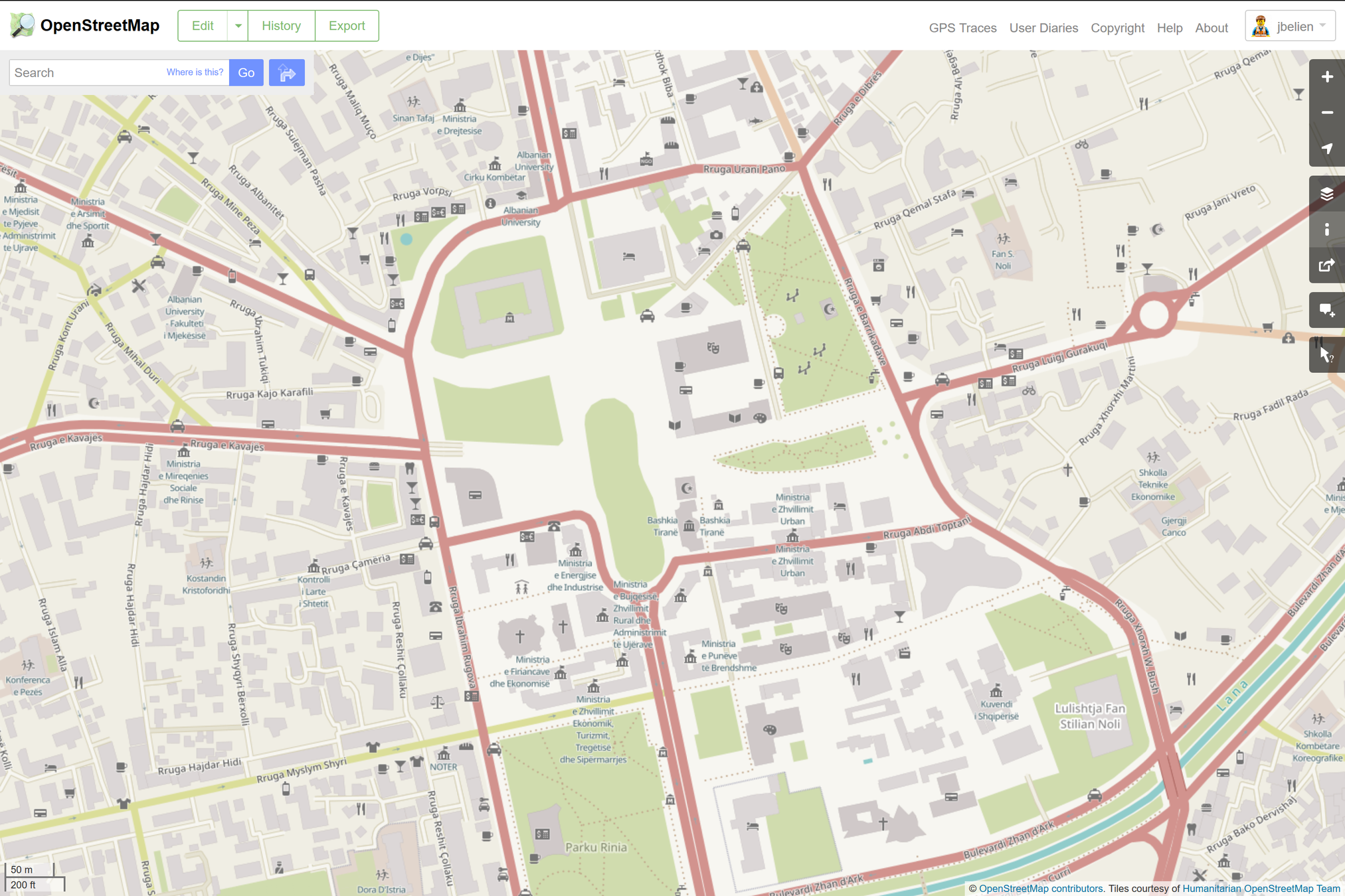
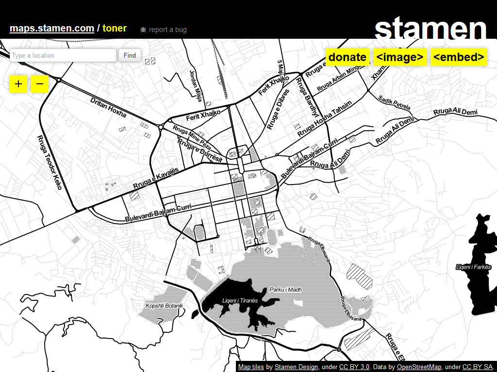
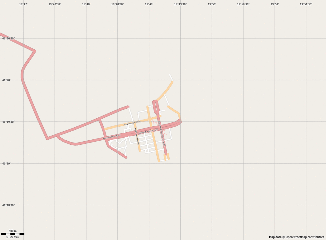
Status of Albania
OpenStreetMap
Status of Tirana
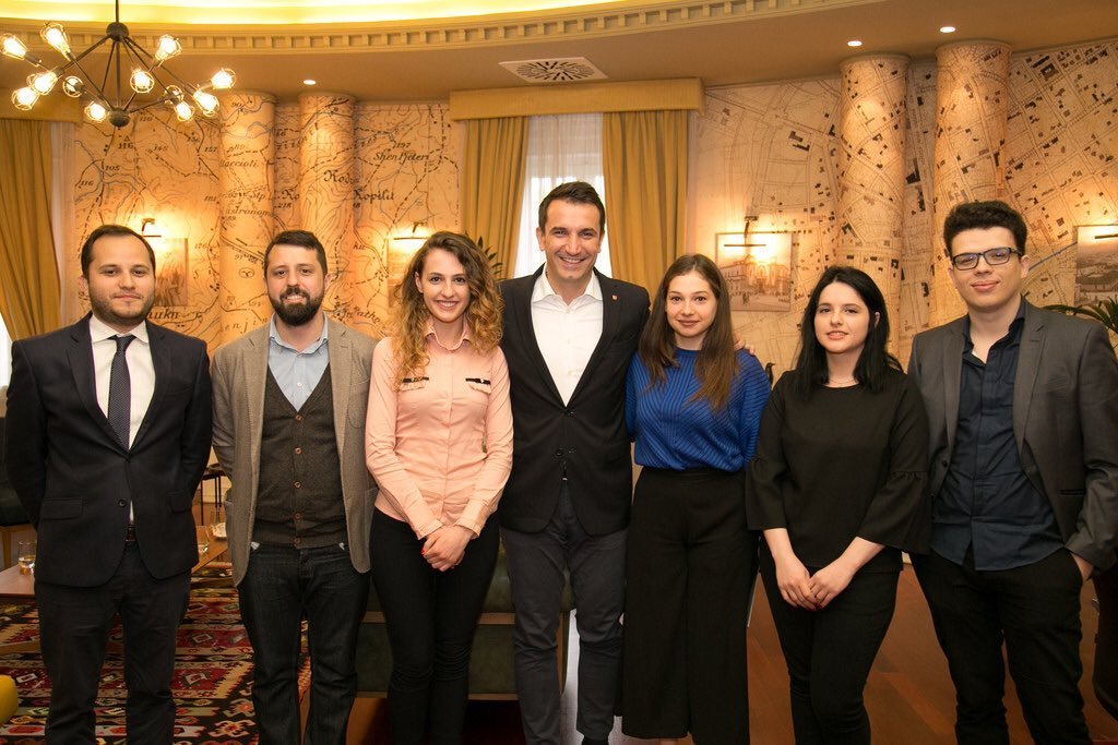
Agreement

Why ?
To use data or imagery to improve OpenStreetMap,
we need :
open-data
or a specific permission to use it
Want to know more ?
Guillaume Rischard : "
How to make Albanian open imagery and maps available to OpenStreetMap editors"
Agreement
How ?
Open Labs hackerspace has always promoted open-source and open-data
Agreement
How ?
First contact during Municipal Elections
2015
Agreement
How ?
Regular meetings with the Municipality
2016
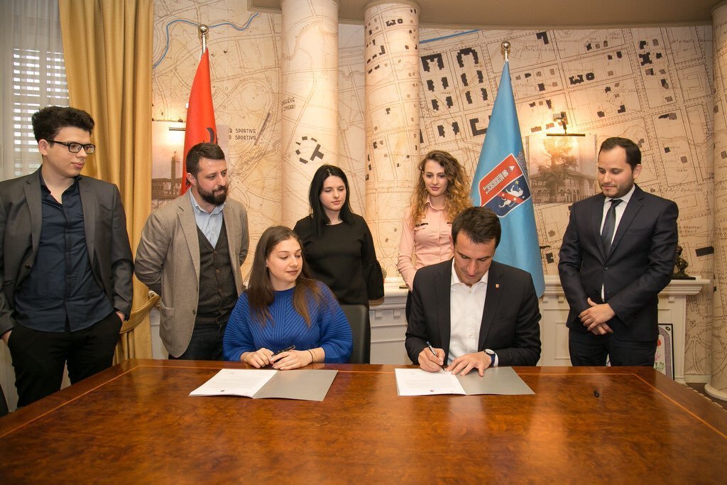
Joni Baboci, General Director of Urban Planning and Urban Development at the Municipality of Tirana
Agreement
How ?
Signature of the final agreement
19 April 2017
Agreement
Agreement
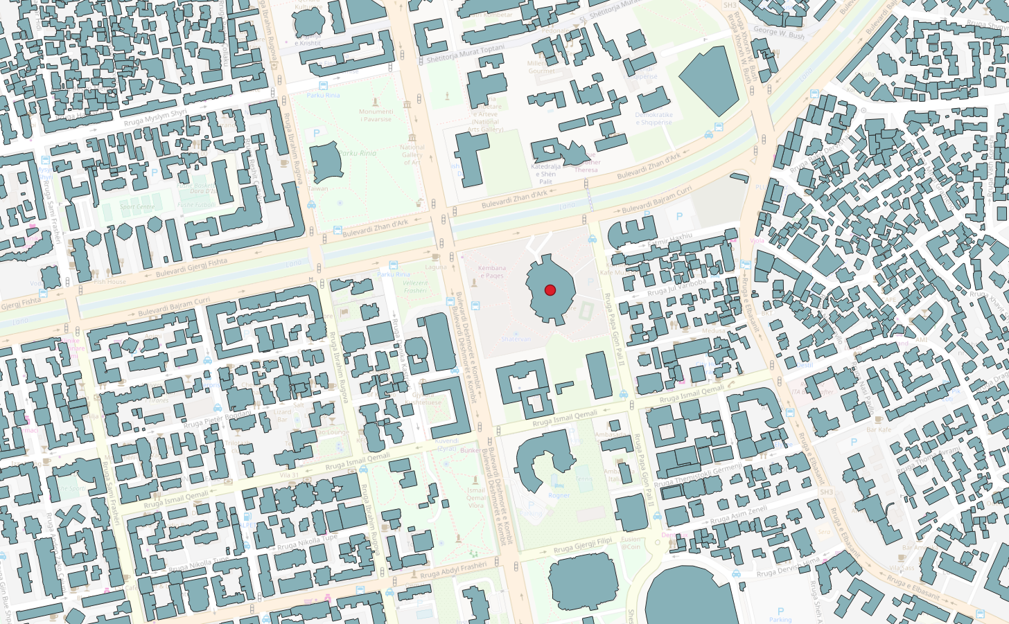
GeoPortal
Why ?
Make all those raw data available for everyone ...
Even if you do not have any GIS knowledge !
Easily integrate those data in OpenStreetMap editors
GeoPortal
What ?
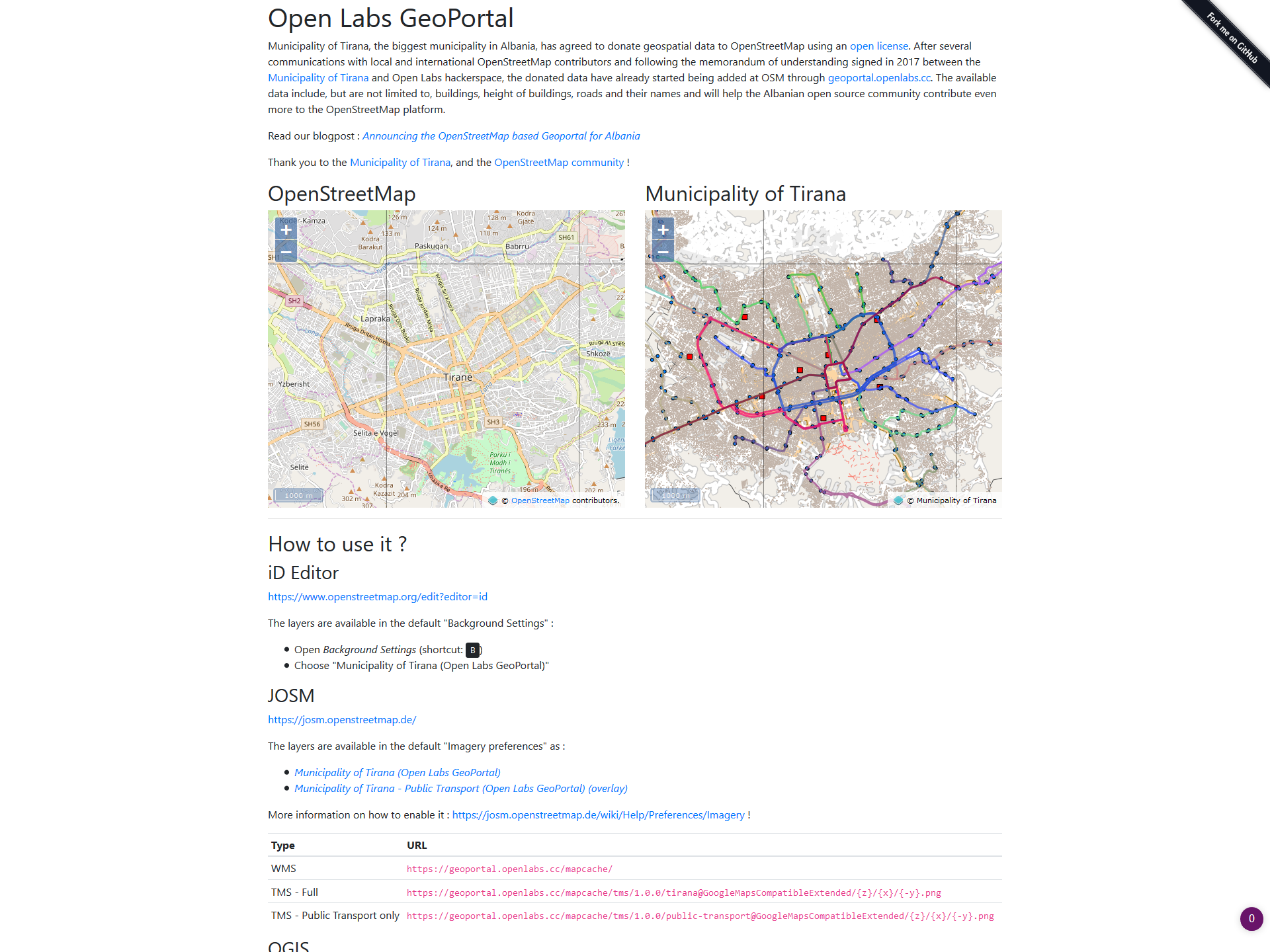
- Buildings
- Streets
- Roads
- Administrative buildings
- Public tranport
- Stops
- Lines
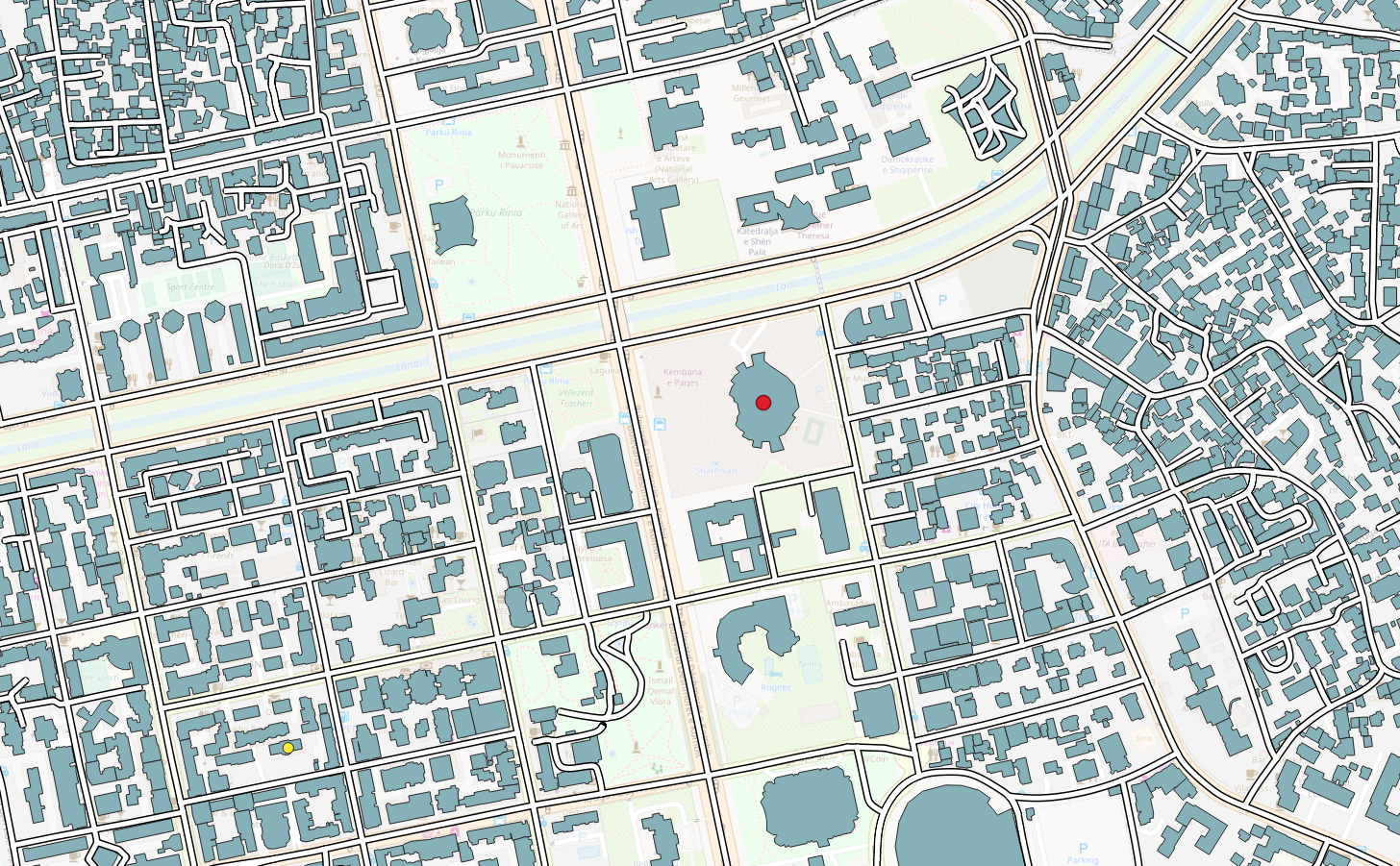
GeoPortal
What ?
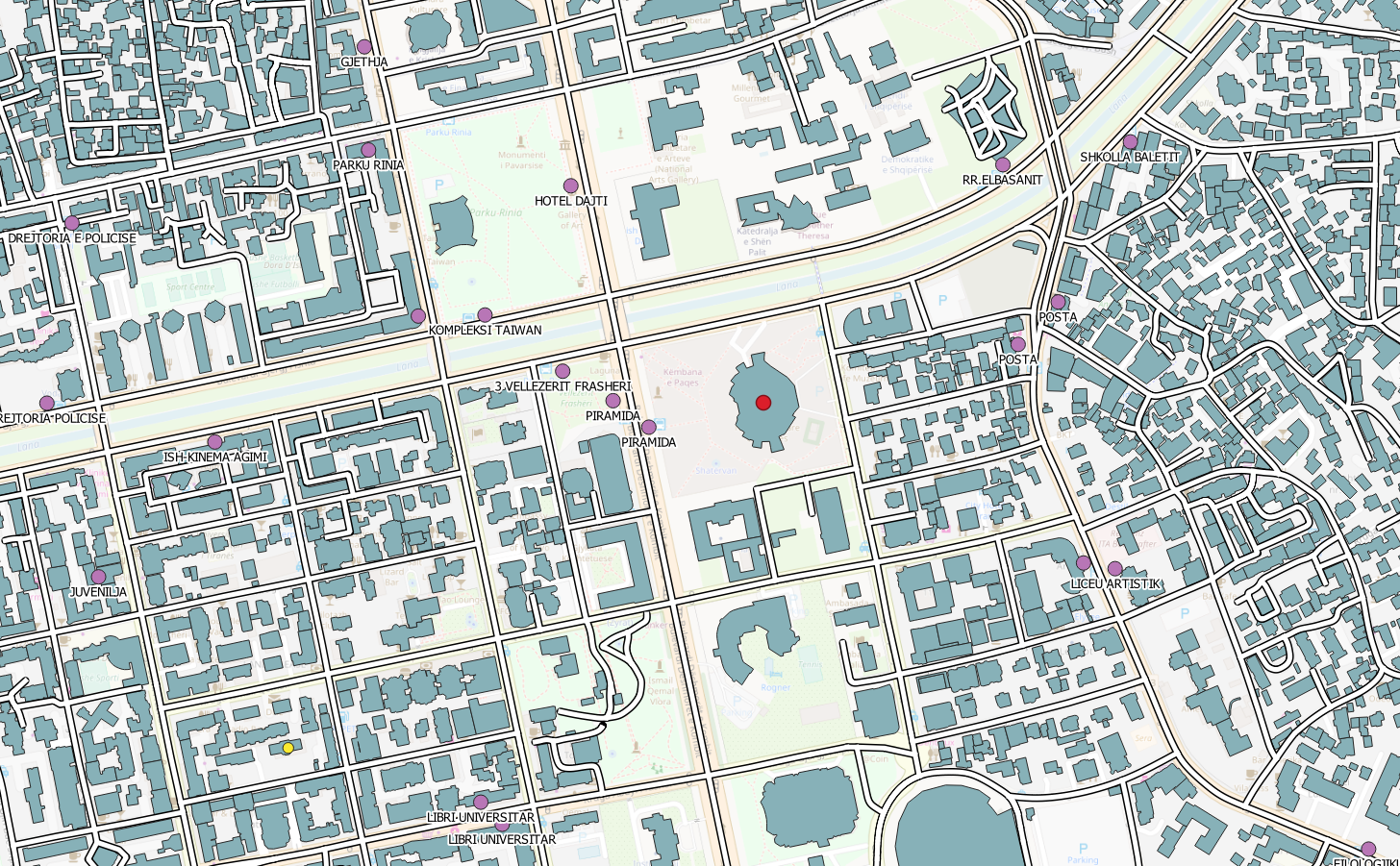
GeoPortal
What ?

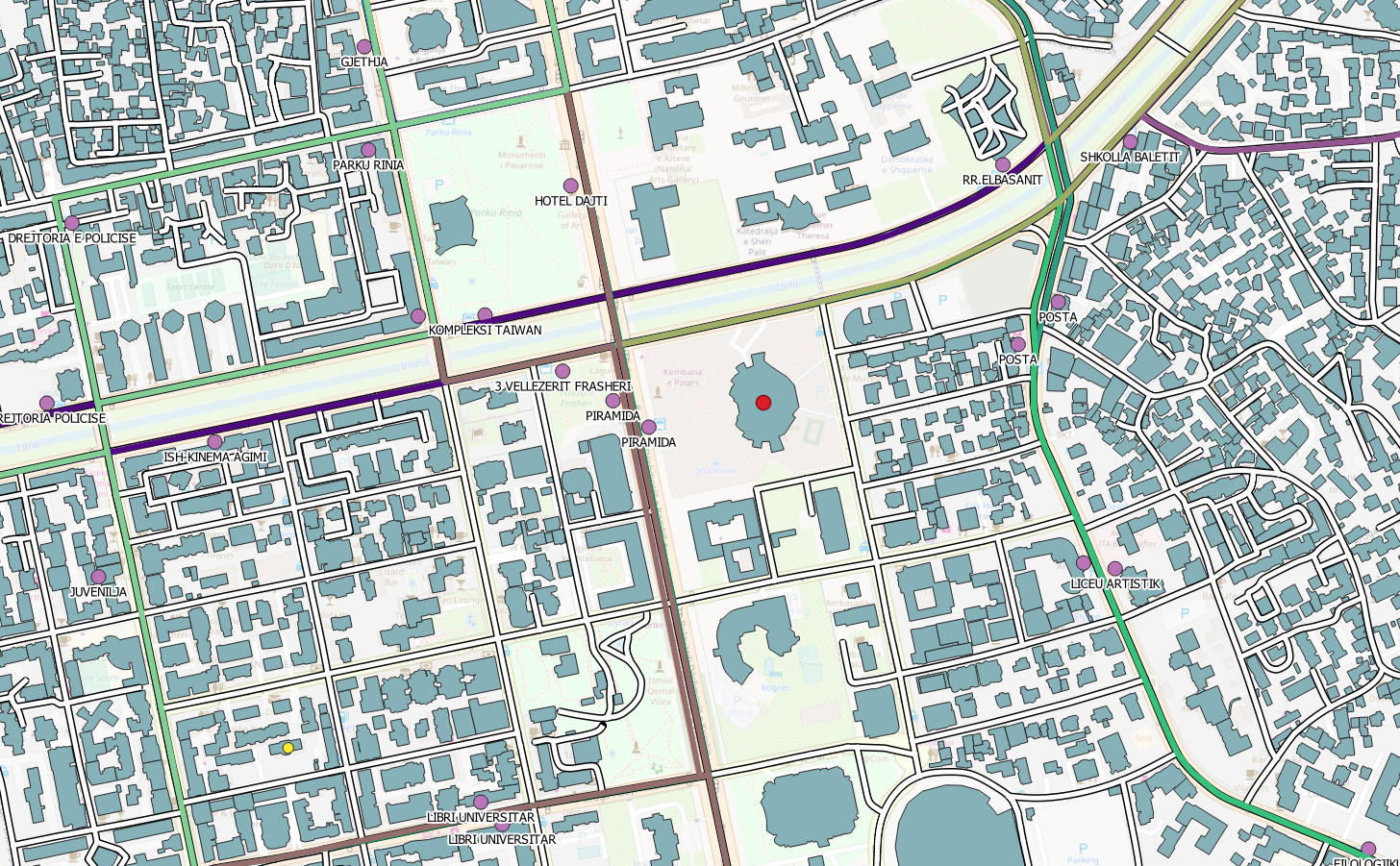
GeoPortal
What ?
GeoPortal
What ?
GeoPortal
What ?
GeoPortal
How ?
Open-source solutions
GeoPortal
How ?
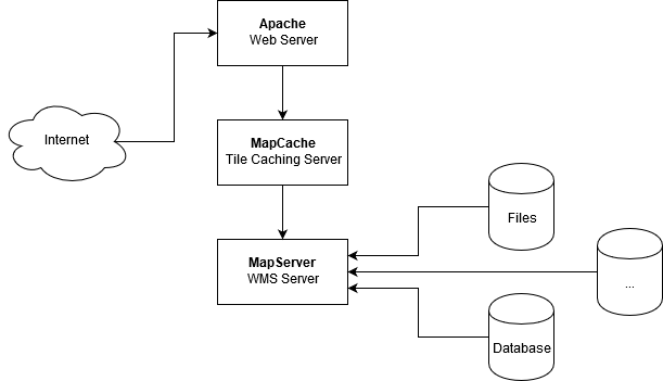
GeoPortal
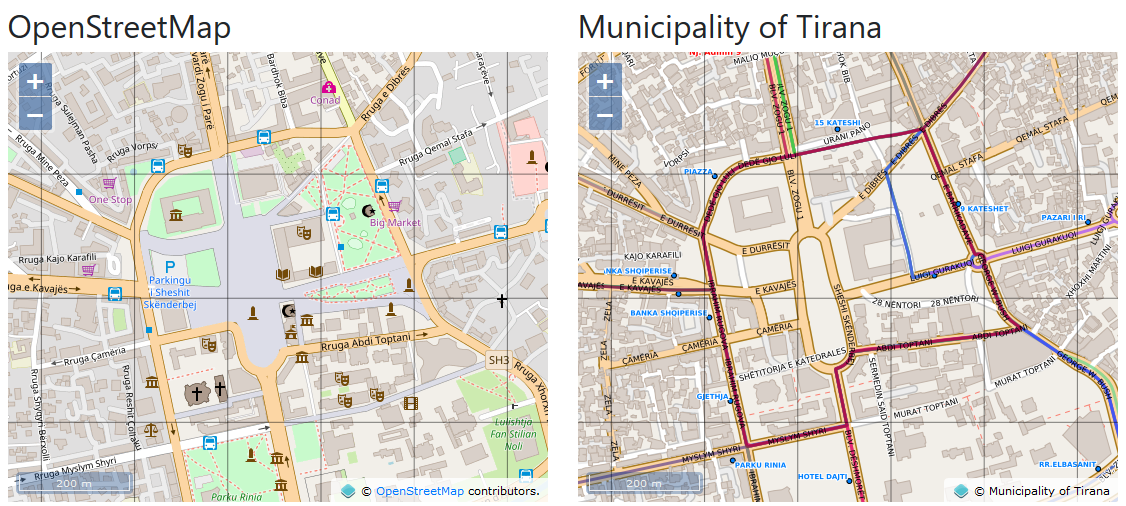
Result ?
- A website
- A GitHub repository
- WMS - Web Map Service
- TMS - Tile Map Service
- Layers in OpenStreetMap editors
GeoPortal
A website
GeoPortal
A GitHub repository
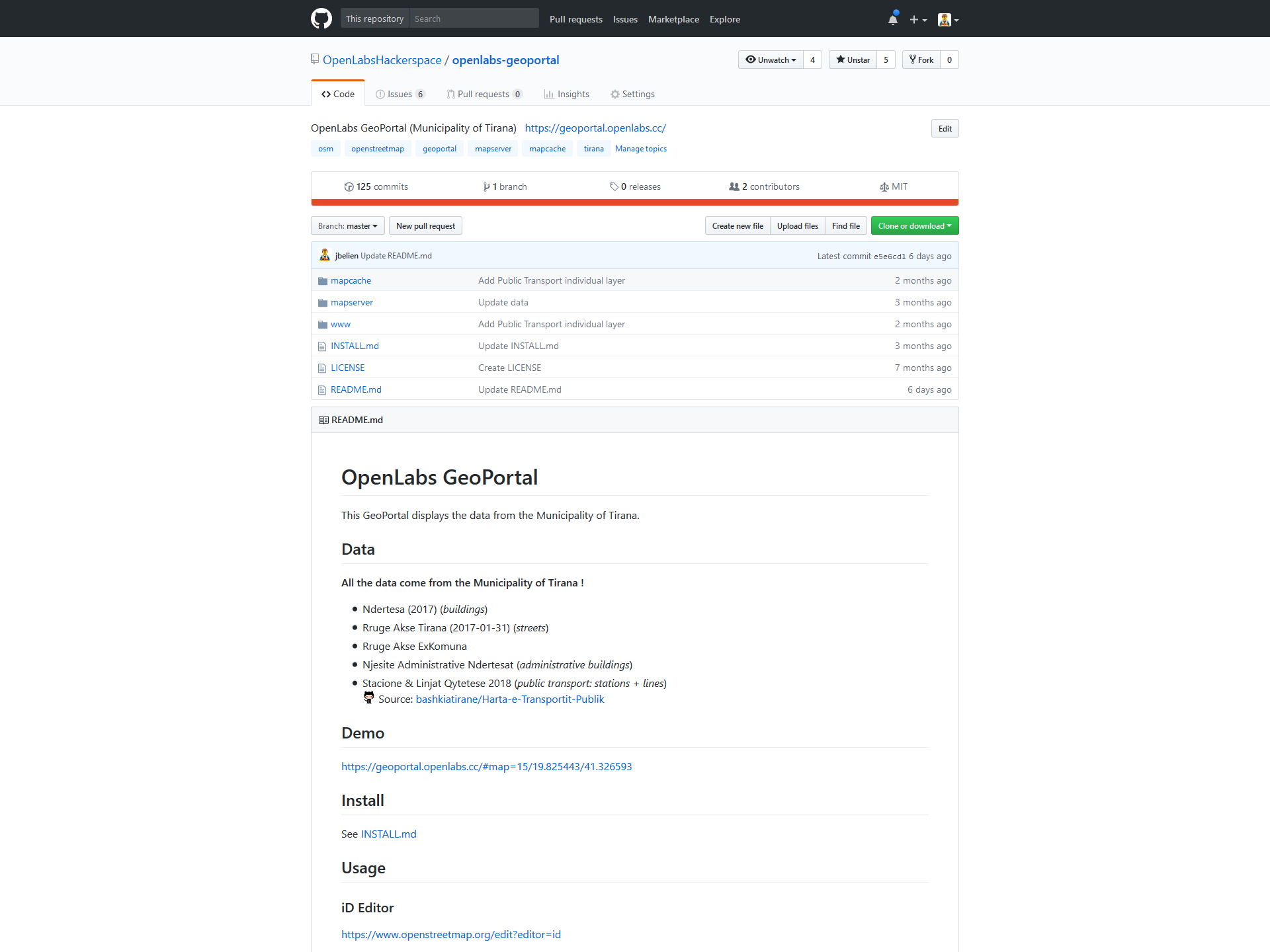
GeoPortal
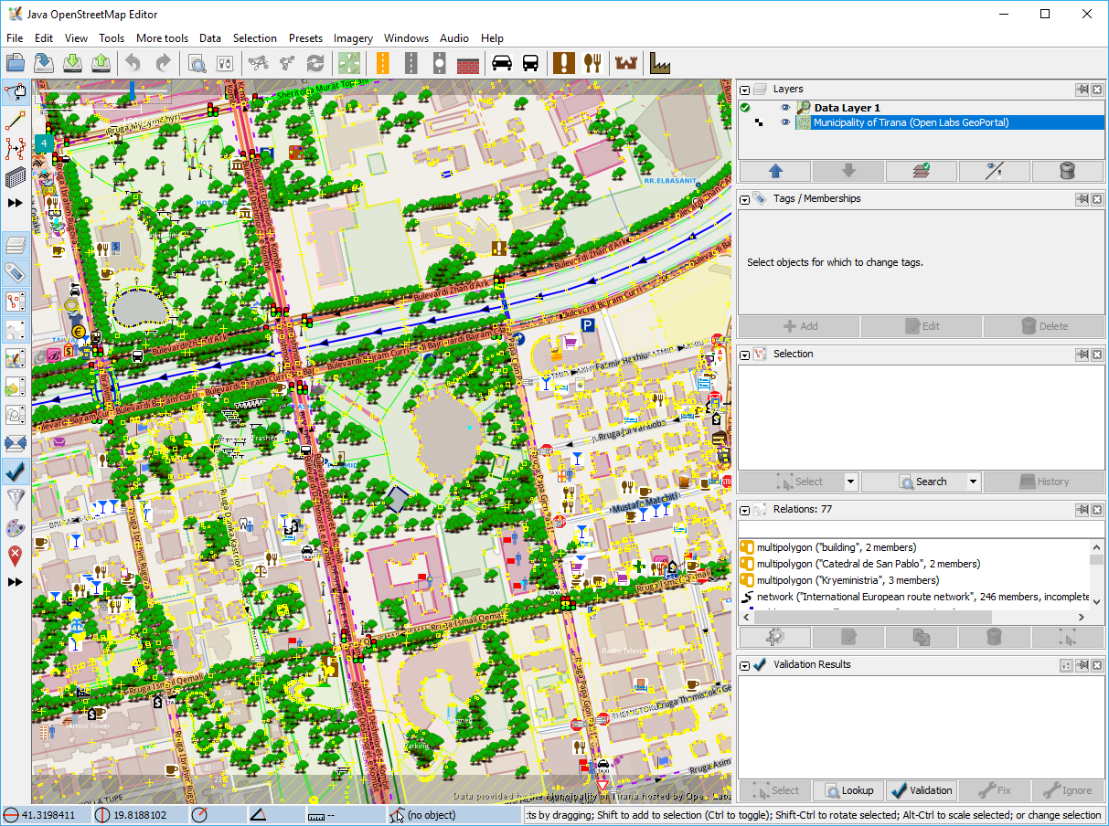
iD editor
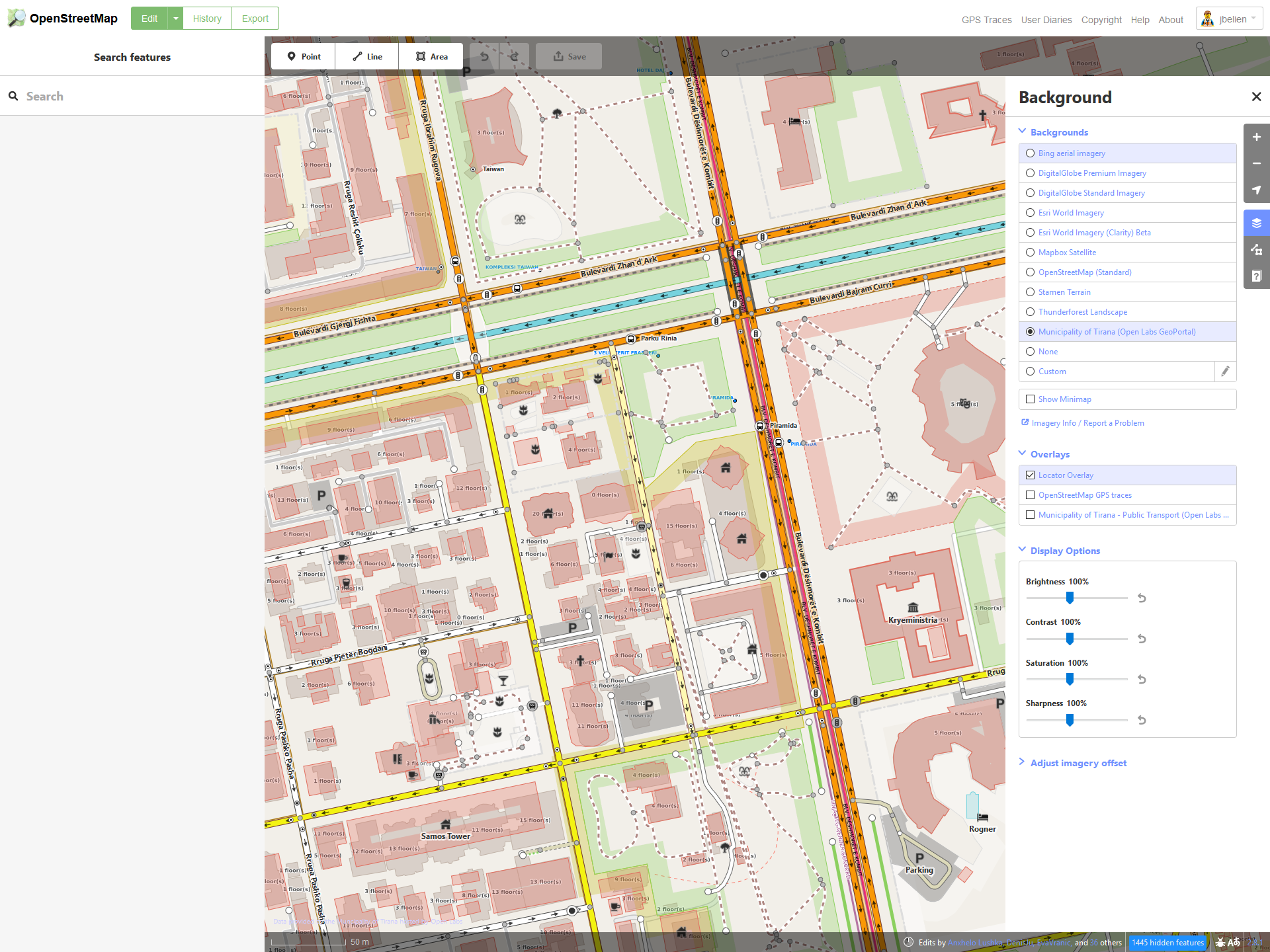
GeoPortal
JOSM
Conclusion
Local and International effort
What's next ?
More data !
- Addresses,
- Parkings,
- Parks,
- Water,
- ...
Let's extend to all of Albania !
What's next ?
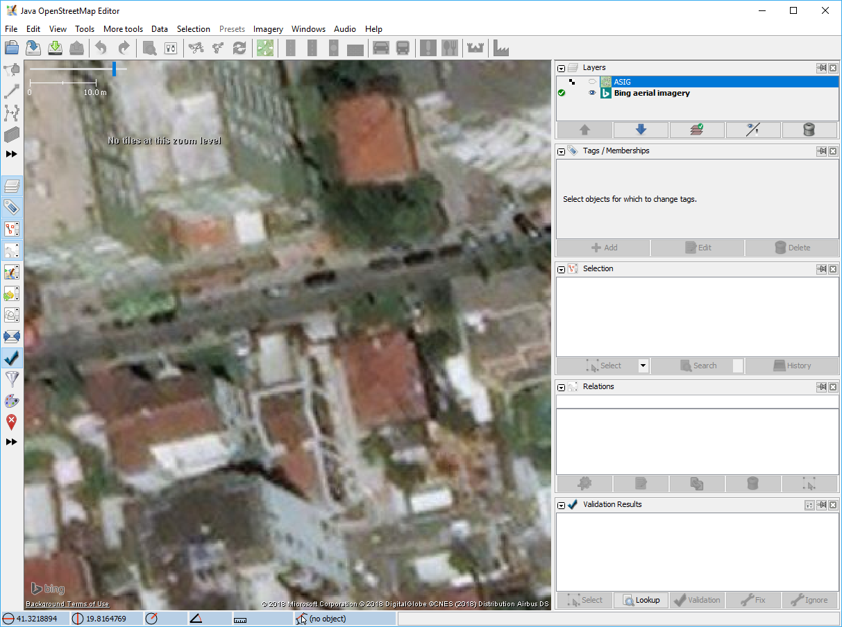
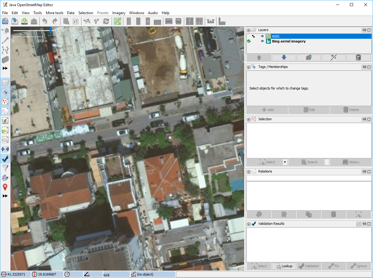
ASIG
All of Albania !
- Cadastral parcels,
- Administrative units,
- Land cover,
- Roads,
- Addresses,
- Orthophotos (8 cm),
- ...
What's next ?
ASIG
What's next ?
ASIG
Need an agreement !
Want to know more ?
Guillaume Rischard : "
How to make Albanian open imagery and maps available to OpenStreetMap editors"
What's next ?
Use the GeoPortal
and
Contribute
... but with caution !
Questions ?