How to use OpenStreetMap
on your website ?
OpenStreetMap Belgium
free baselayer
!! Service annoucement !!

and every other proprietary solution ...
Why switch ?
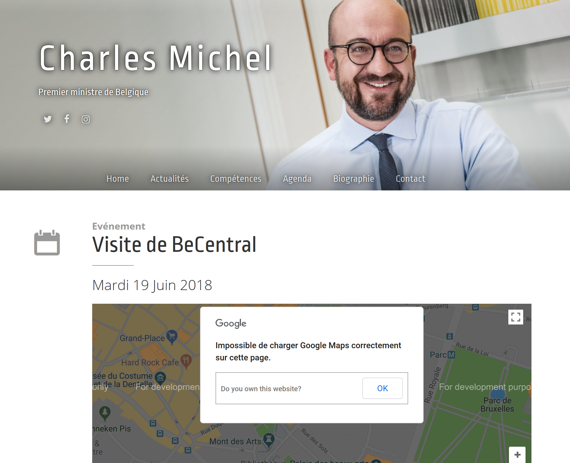
Google is in charge !
(Increasing) Fees to use
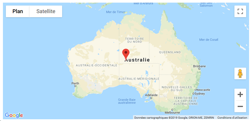
Google Maps
on your website
Why switch ?
Google is in charge !
Why switch ?
No control over what's displayed on the map
Google is in charge !
Why switch ?
Change of the terms of use
at anytime
Why OpenStreetMap ?
Why switch ?
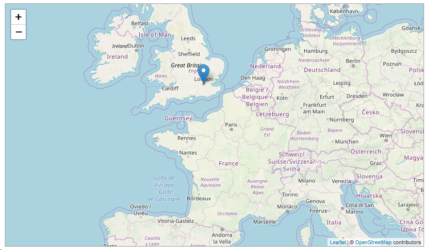
OpenStreetMap is a free, editable map of the whole world that is being built by volunteers largely from scratch and released with an open-content license.
The OpenStreetMap License allows free (or almost free) access to our map images and all of our underlying map data. The project aims to promote new and interesting uses of this data.
Why OpenStreetMap ?
Why switch ?
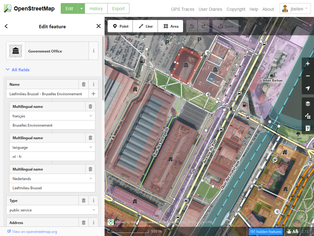
You have access to the data !
Why switch ?
Why OpenStreetMap ?
Why switch ?
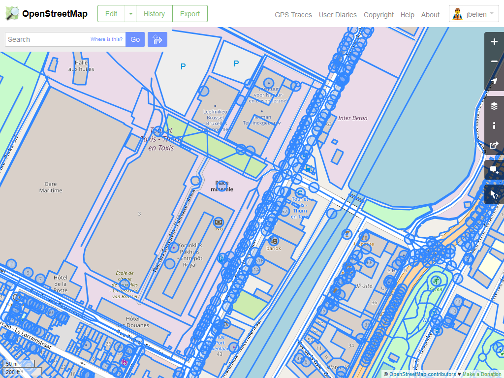
Power of the community
- Quick response
- "Unlimited" manpower
- Local knowledge all over the World
- ...
Why OpenStreetMap ?
Why switch ?
Power of the community
Humanitarian
OpenStreetMap
Team

Why switch ?
How to switch ?
From
(really) easy
to
(really) complicated
How to switch ?
Don’t forget to give the OpenStreetMap credit when you use our maps (or services).
© OpenStreetMap contributors
How to switch ?
How to switch ?
How to switch ?
No need for technical knowledge
🤩
How to switch ?
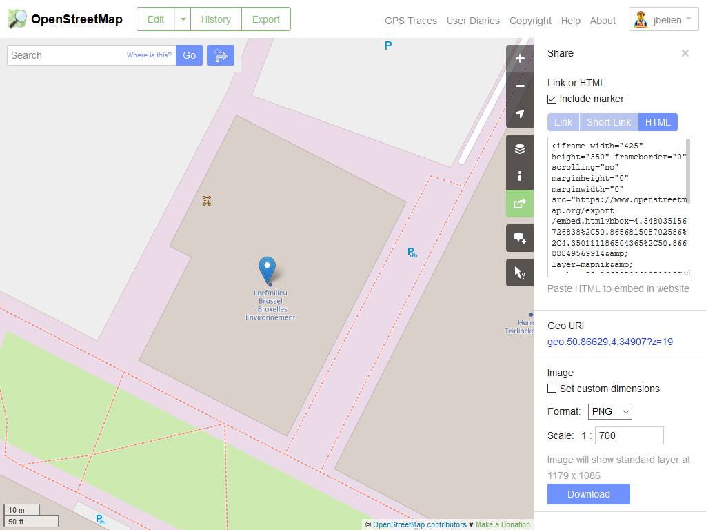
🤩
How to switch ?
<iframe
width="425" height="350" frameborder="0"
scrolling="no" marginheight="0" marginwidth="0"
src="https://www.openstreetmap.org/export/embed.html?bbox=4.343451%2C50.8437928%2C4.361368%2C50.849815&layer=mapnik&marker=50.846807%2C4.352409"
style="border: 1px solid black"
></iframe>
<br>
<small>
<a href="https://www.openstreetmap.org/?mlat=50.84681&mlon=4.35241#map=17/50.84680/4.35241">
View Larger Map
</a>
</small>🤩
How to switch ?
🤩
How to switch ?
Need for (a bit of) technical knowledge
🤓

How to switch ?
🤓
How to switch ?
1. Include Leaflet JavaScript library and stylesheet
2. Create a <div> element
3. Use Leaflet JavaScript library to load the map
<link rel="stylesheet" href="https://unpkg.com/leaflet@1.4.0/dist/leaflet.css"
	integrity="sha512-puBpdR0798OZvTTbP4A8Ix/l+A4dHDD0DGqYW6RQ+9jxkRFclaxxQb/SJAWZfWAkuyeQUytO7+7N4QKrDh+drA=="
	crossorigin=""/>

<script src="https://unpkg.com/leaflet@1.4.0/dist/leaflet.js"
	integrity="sha512-QVftwZFqvtRNi0ZyCtsznlKSWOStnDORoefr1enyq5mVL4tmKB3S/EnC3rRJcxCPavG10IcrVGSmPh6Qw5lwrg=="
	crossorigin=""></script>
<div id="map"></div>var map = L.map('map').setView([0, 0], 2);
L.tileLayer("https://tile.openstreetmap.be/osmbe/{z}/{x}/{y}.png", {
attribution: "© <a href=\"http://openstreetmap.org\">OpenStreetMap</a> contributors, Tiles courtesy of <a href=\"https://geo6.be/\">GEO-6</a>",
maxZoom: 18,
}).addTo(map);🤓
How to switch ?
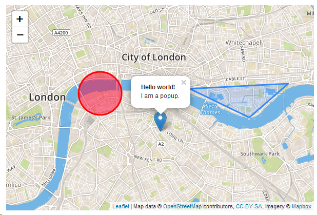
4. Add a popup to your marker
var map = L.map('map').setView([0, 0], 2);

L.tileLayer(...).addTo(map);

var marker = L.marker([50.846807, 4.352409]).addTo(map);

marker.bindPopup("<b>Hello world!</b><br>I am a popup.").openPopup();
🤓
3. Add a marker
var map = L.map('map').setView([0, 0], 2);

L.tileLayer(...).addTo(map);

var marker = L.marker([50.846807, 4.352409]).addTo(map);
How to switch ?
🤓
Step by step tutorials
Full documentation
How to switch ?
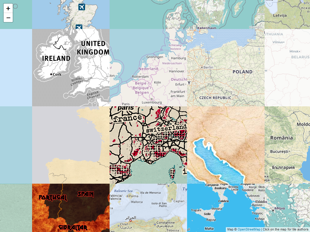
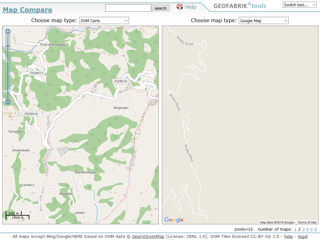
Baselayer
How to switch ?
Baselayer
OpenStreetMap baselayer
Many (mostly free) baselayers are available !
How to switch ?
Baselayer
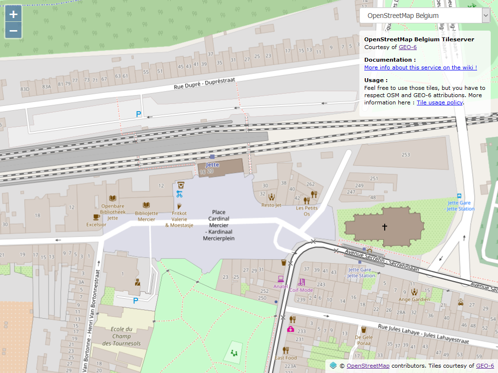
OpenStreetMap Belgium baselayer
How to switch ?

How to switch ?
OpenStreetMap Belgium - Default name
L.tileLayer('https://tile.openstreetmap.be/osmbe/{z}/{x}/{y}.png', {
attribution: '© <a href="http://openstreetmap.org">OpenStreetMap</a> contributors, '
+ 'Tiles courtesy of <a href="https://geo6.be/">GEO-6</a>',
maxZoom: 18
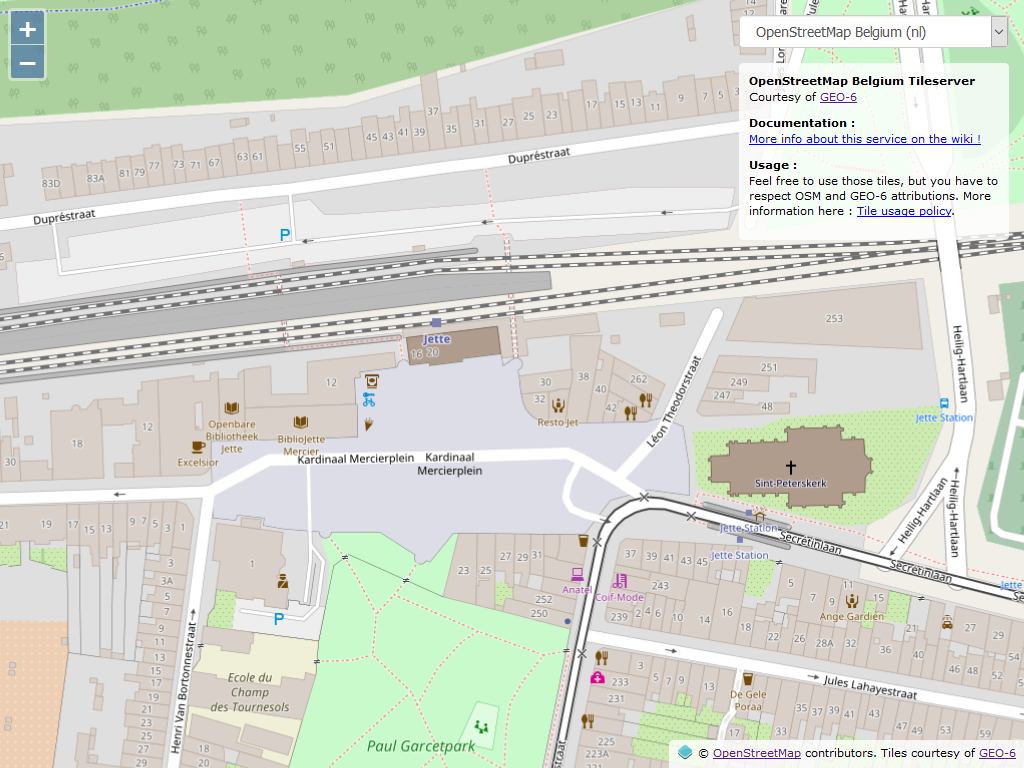
}).addTo(map);OpenStreetMap Belgium - Name in French
L.tileLayer('https://tile.openstreetmap.be/osmbe-fr/{z}/{x}/{y}.png', {
	attribution: '© <a href="http://openstreetmap.org">OpenStreetMap</a> contributors, '
	+ 'Tiles courtesy of <a href="https://geo6.be/">GEO-6</a>',
	maxZoom: 18
}).addTo(map);
OpenStreetMap Belgium - Name in Dutch
L.tileLayer('https://tile.openstreetmap.be/osmbe-nl/{z}/{x}/{y}.png', {
	attribution: '© <a href="http://openstreetmap.org">OpenStreetMap</a> contributors, '
	+ 'Tiles courtesy of <a href="https://geo6.be/">GEO-6</a>',
	maxZoom: 18
}).addTo(map);
How to switch ?
Want some
more ?
😱
How to switch ?

OpenLayers
How to switch ?
Geographical data
Geofabrik
OpenStreetMap Data Extracts
Every data available in OpenStreetMap database splitted by country
How to switch ?
Your baselayer
Host your own custom baselayer(s)
Quite complicated but you have full control on everything !
How to switch ?
Your baselayer
Host your own custom baselayer(s)
How to switch ?
Geocoding
How to switch ?
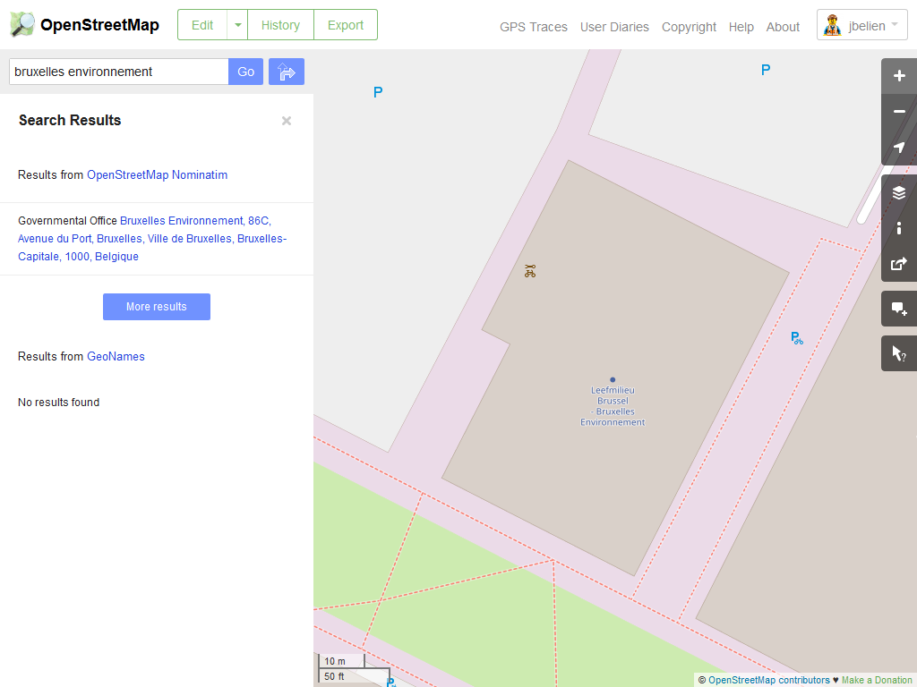
How to switch ?
Directions / Routing
How to switch ?
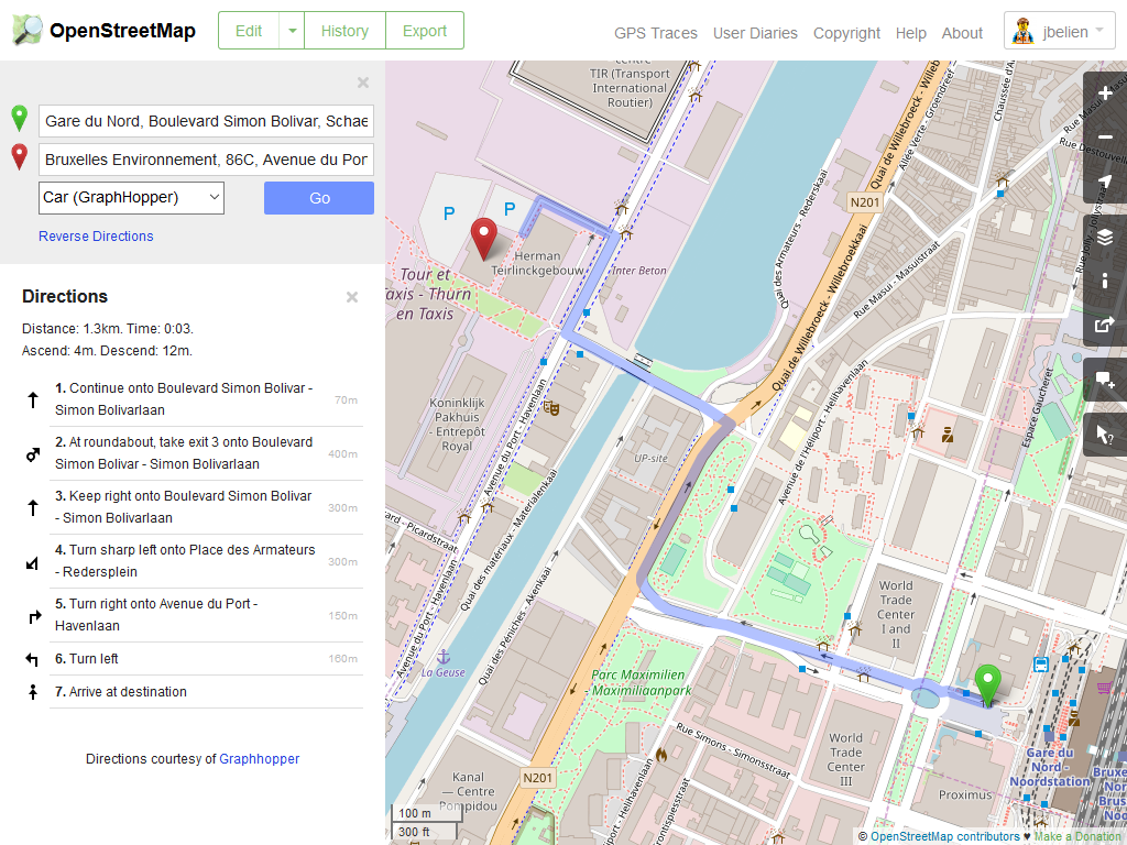
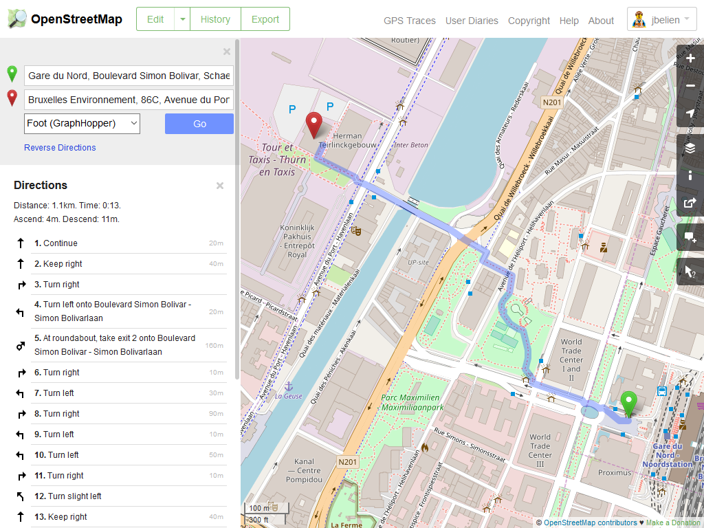
How to switch ?
- Baselayer (with custom style)
- Directions
- Geocoding
- API
- JavaScript library
- Android / iOS SDK
- ...
Open-Source
(most of it)
Conclusion
Everything that’s possible with Google Maps
is possible with OpenStreetMap
and (almost) as easy to use and to set up!
So why not make the switch ?
Open-Data
+
Open-Source
Questions ?